Share your favorites on Show & Tell

1956 - United States Wall Map

In Paper > Maps > Show & Tell.
Maps100 of 1671969 - Earth's Moon Wall MapMap of the British Isles containing the kingdoms of England, Scotland, Ireland
10
Love it
0
Like it

geo26egeo26e loves this.
mikelv85mikelv85 loves this.
lundylundy loves this.
kerry10456kerry10456 loves this.
antiques-in-njantiques-in-nj loves this.
vanskyock24vanskyock24 loves this.
SEAN68SEAN68 loves this.
pops52pops52 loves this.
vetraio50vetraio50 loves this.
tom61375tom61375 loves this.
See 8 more
Add to collection

    Please create an account, or Log in here

    If you don't have an account, create one here.


    Create a Show & TellReport as inappropriate


    Posted 11 years ago

    aghcollect
    (2304 items)

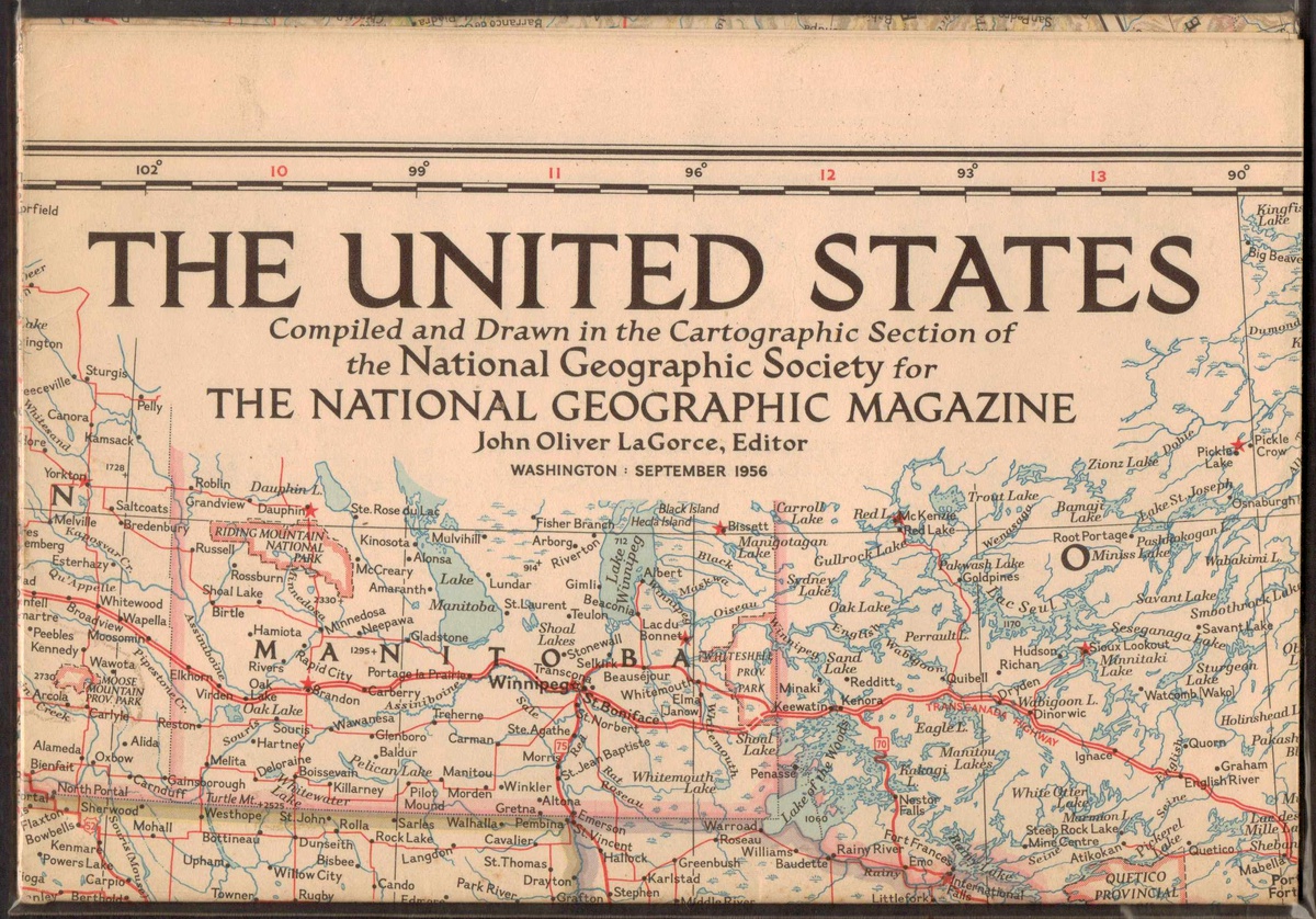
    This is a 1956 United States wall map from National Geographic Magazine.
    Compiled by the cartographic section of the National Geographic Society in Washington, D.C. - A supplement to the September 1956 issue, stored in an acid-free plastic envelope, never unfolded or hung. - Also shows some sections of Canada and Mexico - only 48 U.S. states at printing time.

    logo
    Maps
    See all
    CENTRAL & MIDDLE UNITED STATES 1792 STOCKDALE UNUSUAL ANTIQUE COPPER ENGRAVEDMAP
    CENTRAL & MIDDLE UNITED STATES 1792...
    $21
    GREECE 1589 GERARD MERCATOR UNUSUAL ANTIQUE ORIGINAL COPPER ENGRAVED MAP
    GREECE 1589 GERARD MERCATOR UNUSUAL...
    $31
    POLAND & LITHUANIA 1695ca JUSTUS DANCKERTS UNUSUAL ANTIQUE COPPER ENGRAVED MAP
    POLAND & LITHUANIA 1695ca JUSTUS DA...
    $34
    EASTERN UNITED STATES 1780 CARY UNUSUAL ANTIQUE ORIGINAL COPPER ENGRAVED MAP
    EASTERN UNITED STATES 1780 CARY UNU...
    $23
    logo
    CENTRAL & MIDDLE UNITED STATES 1792 STOCKDALE UNUSUAL ANTIQUE COPPER ENGRAVEDMAP
    CENTRAL & MIDDLE UNITED STATES 1792...
    $21
    See all

    Want to post a comment?

    Create an account or login in order to post a comment.